


Maps & Memories
Exploring how Ireland’s Ordnance Survey Shaped our Landscapes and Lives.
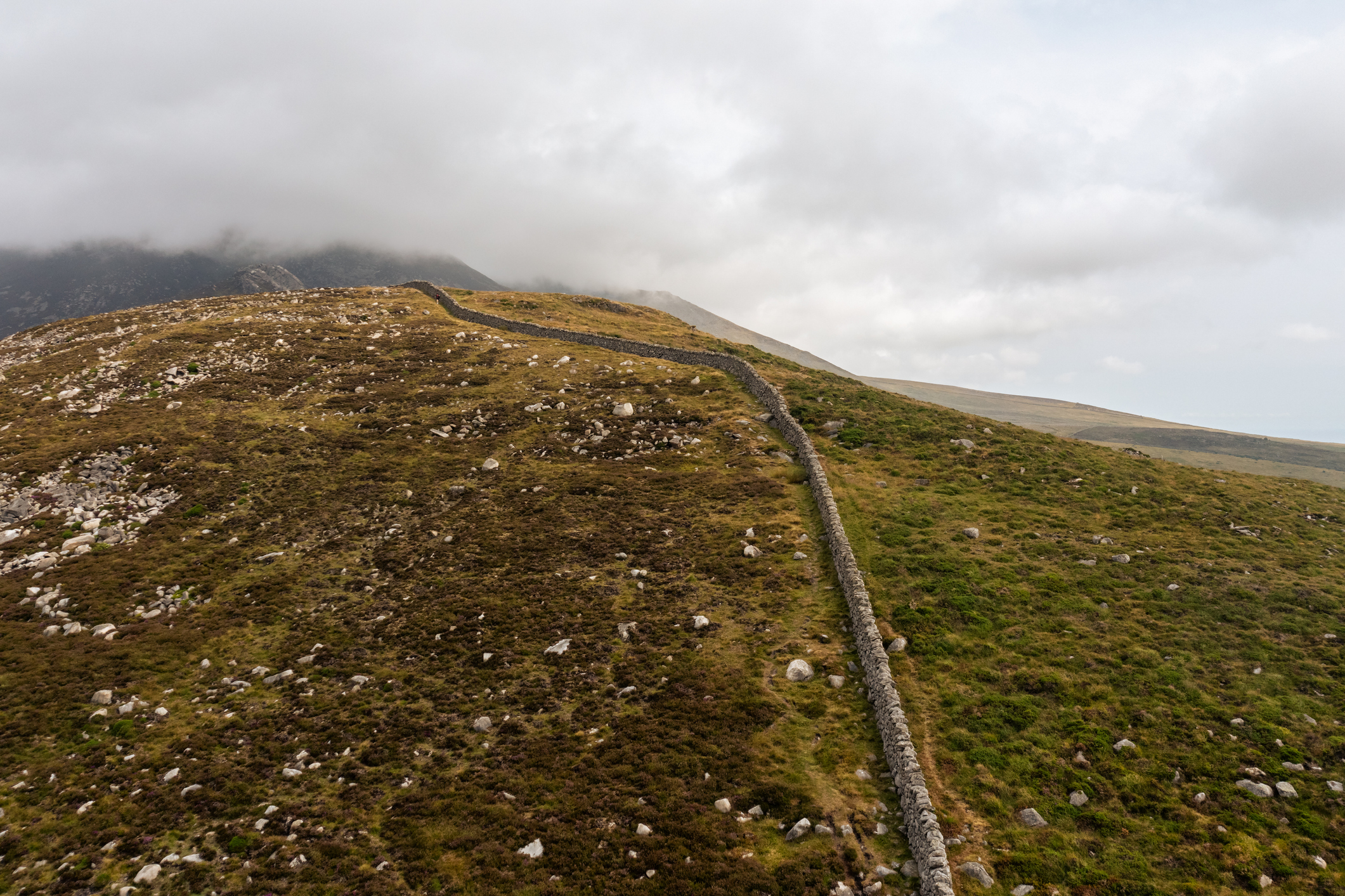
Maps & Memories is a 2 year community heritage project that marks 200 years since the first mapping survey began on Divis Mountain by the Ordnance Survey. These early efforts laid the foundations for how we understand land, ownership, identity & geography across the island today - with continued cultural, political & scientific significance.
In Partnership with
Supported by the lottery heritage fund

Featured events
View All View All
OS 200 Exhibition
A Digital Re-Mapping of Ireland's Ordnance Survey Heritage
Wednesday 11th February
TICKETS FREE
View Event
Mapping Ireland: Joe Mahon in conversation with Keith Lilley & Frances Kane
Saturday 21st February
TICKETS £5
View Event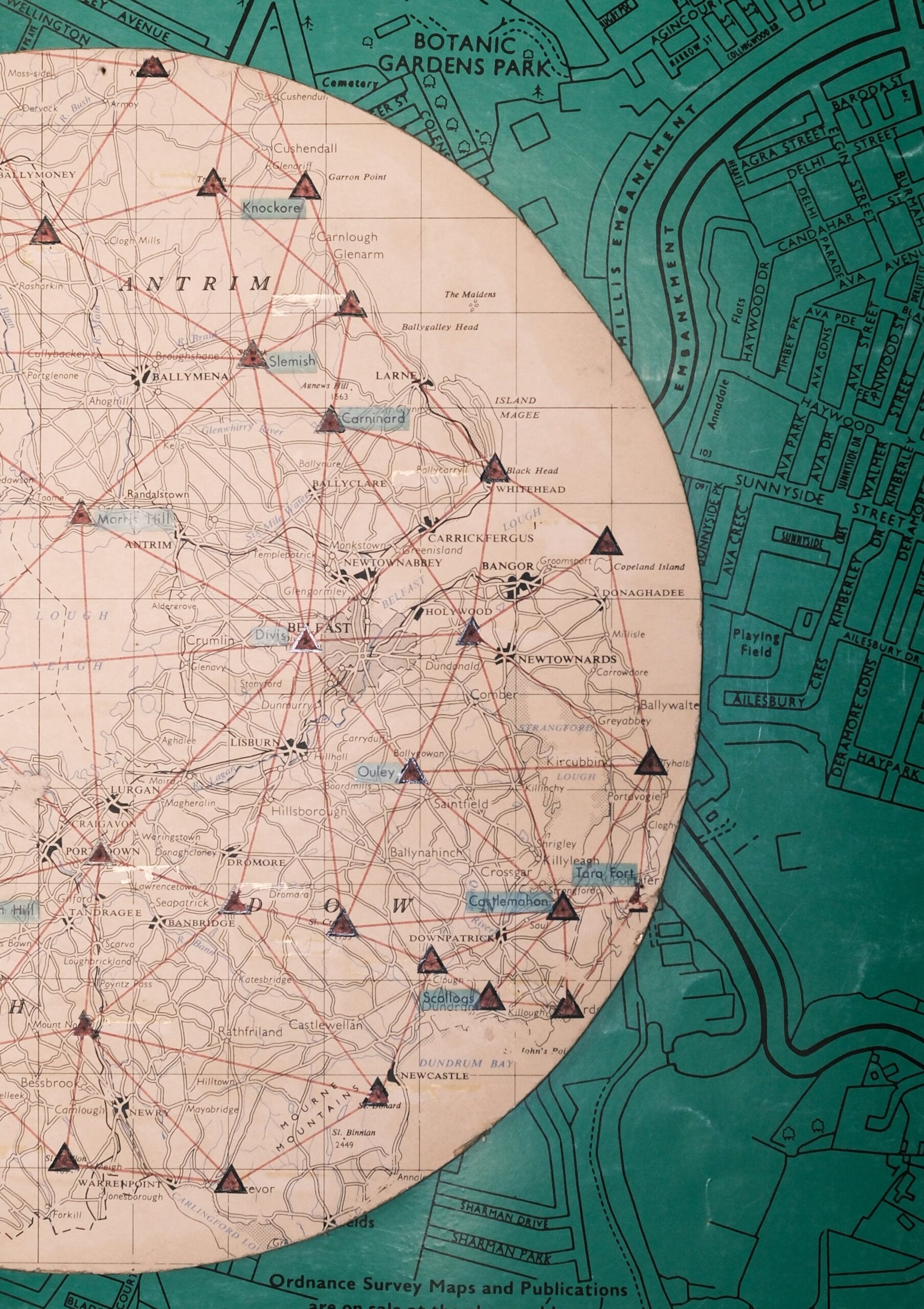
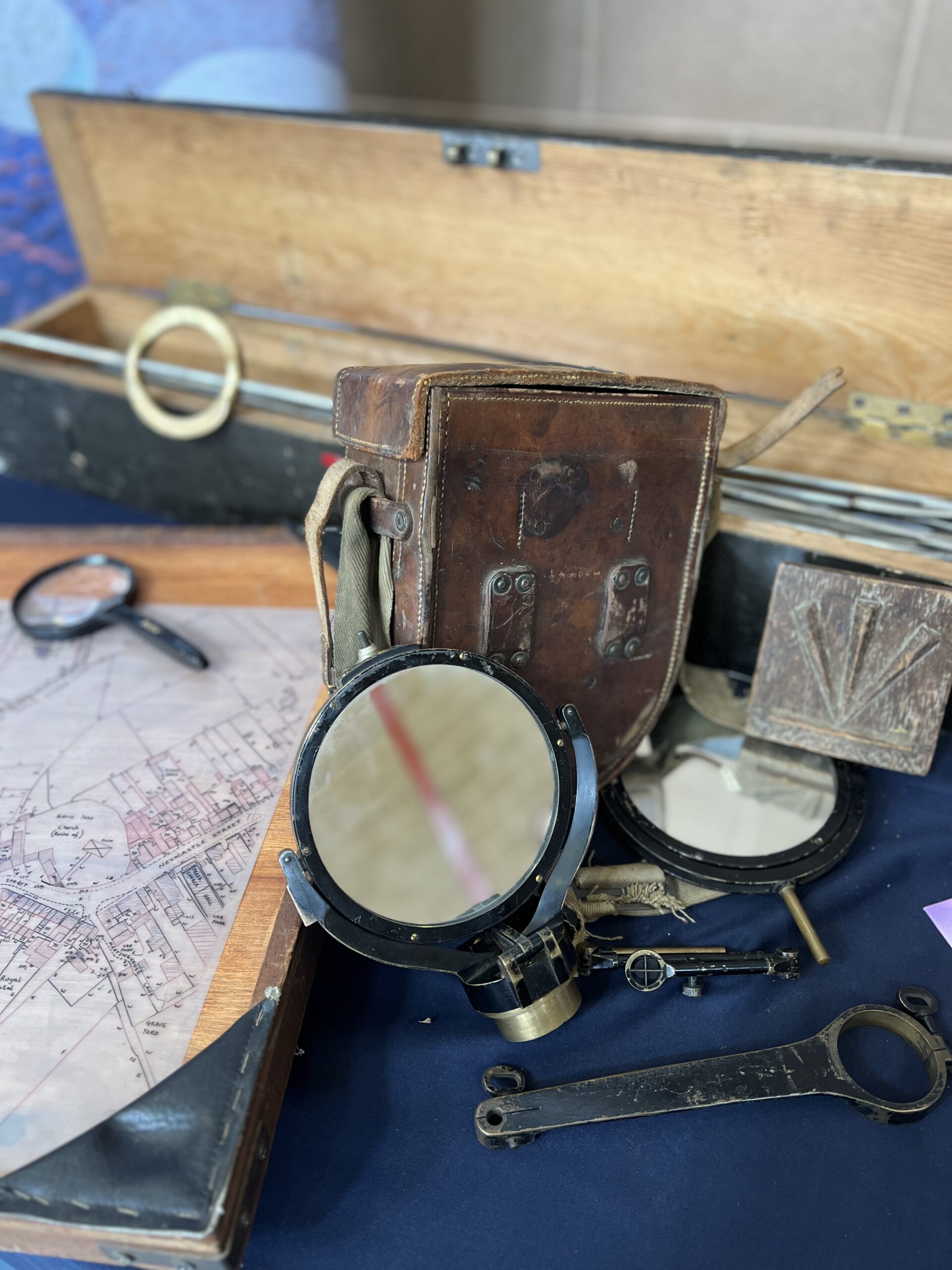
The Science and Stories Behind the First 6’’ Map of Ireland
Wednesday 11th February
TICKETS FREE
View Event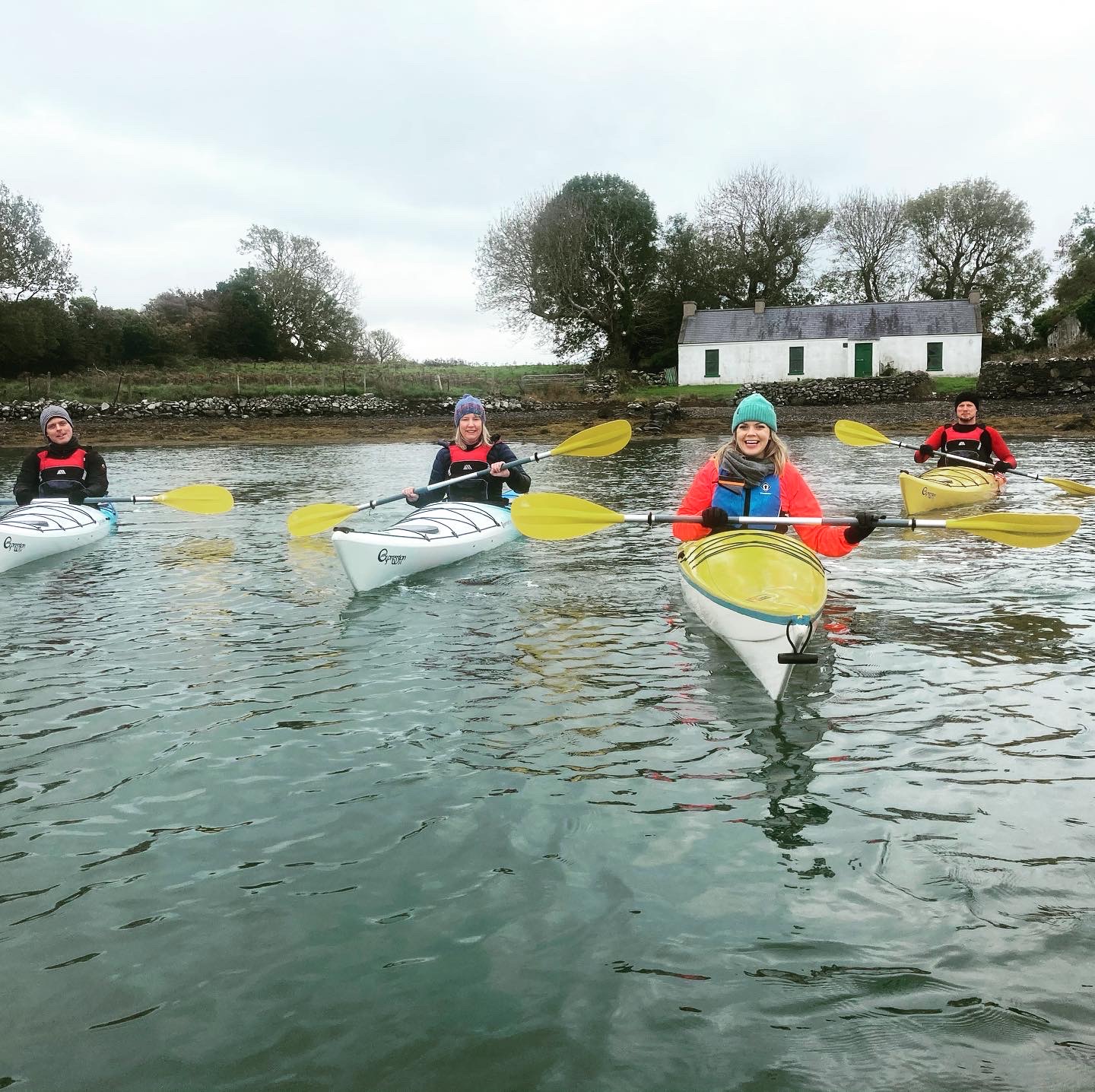
Paddle Back in Time:
Map-makers, path-finders and storytellers of Strangford Lough
Sunday 15th February
TICKETS £50
View Event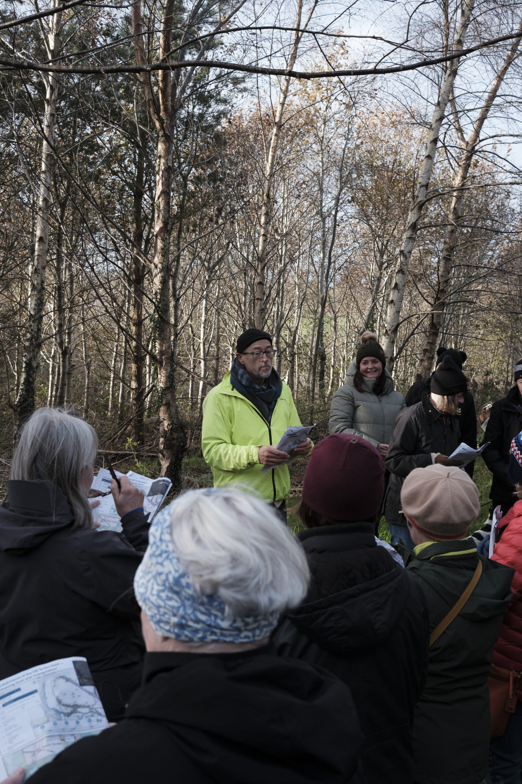
Project Highlight
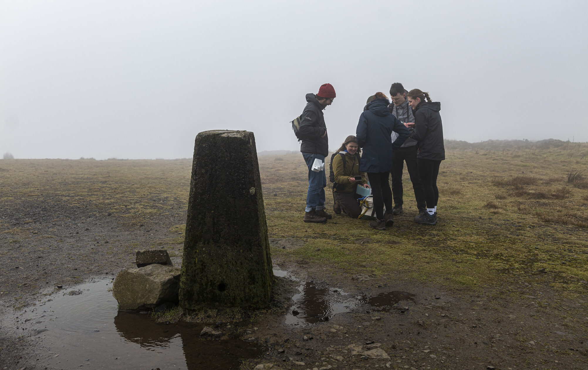
Minnowburn Ramble with Prof. Keith Lilley of Queen's University Belfast & the National Trust Belfast
On Friday 28th of November, Professor Keith Lilley of Queen's University Belfast joined the National Trust Belfast team and NI Science Festival for a 'Minnowburn Ramble'. Thank you to everyone who joined us as we wandered the woodland trails, chatted all things maps and heritage, and even discovered another Belfast benchmark! Missed out on this guided walk? We’ll soon be sharing a full programme of events as part of NI Science Festival 2026 with plenty more chances to get involved in our project Maps & Memories.
Maps & Memories Oral History Collection
Do you have a story to share about the history of the Ordnance Survey in your area? Then get in touch!
Over the next two years, we will be recording people’s stories of the Ordnance Survey and their personal connections to Divis, Black Mountain and Slieve Donard. These recordings will form part of a new digital archive created at the end of the project and shared online to help raise awareness of the impact and legacy of the Ordnance Survey’s first detailed mapping of Ireland, undertaken 200 years ago. If you’d like to share your story, or if you’re interested in volunteering opportunities to support our oral history collection, please contact: polly@nisciencefestival.com
What will this project involve?
More Information Here More Information Here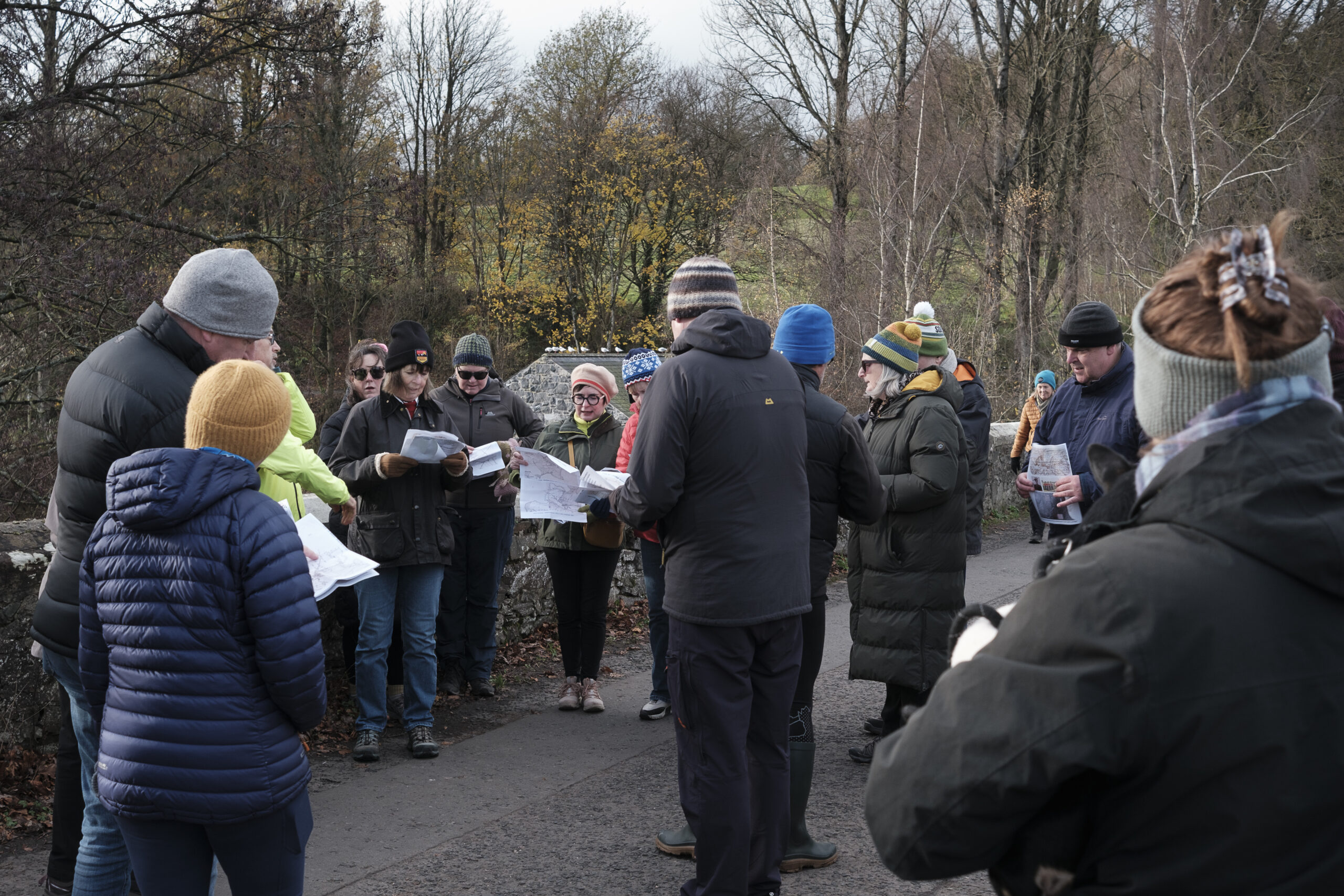
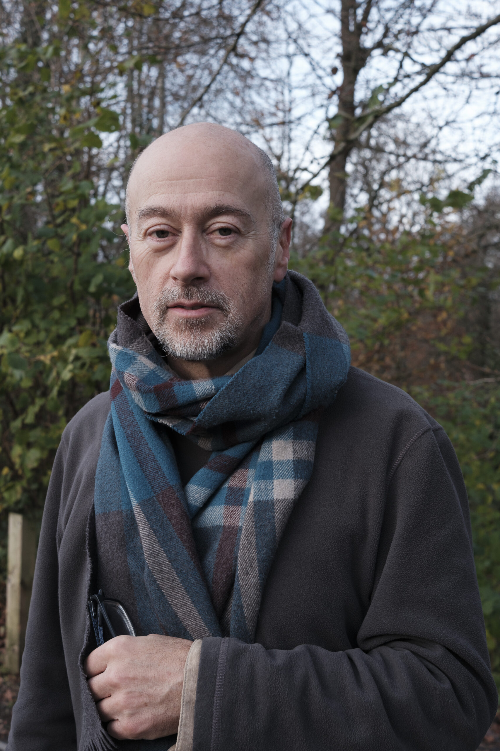
"Maps and Memories taps into a very exciting and important topic which always resonates strongly with local communities interested in exploring heritage on our doorstep. Maps are a great way to understand the places where we live, for drawing out memories about life in the past and sharing these for future generations. Here at Queen's, our expertise in heritage and mapping will play a role in supporting 'Maps and Memories', and we look forward to working with the project's partners and our local communities."
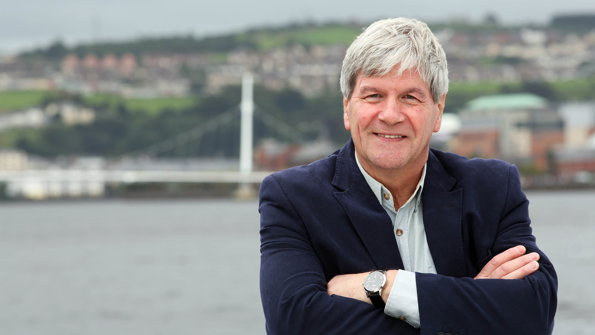
Project Partner, Professor Keith Lilley of Queen's University Belfast
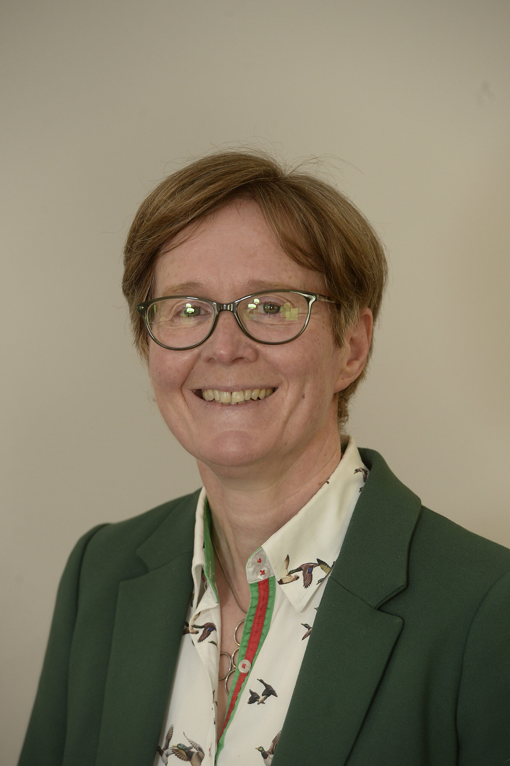
“Ordnance Survey of Northern Ireland is delighted to support this National Lottery-funded project, which reflects on the rich history of surveying and mapping while showcasing our current technologies. Maps tell stories, define journeys, empower informed decision-making, and serve as powerful tools that help people connect with the world around them which makes this an exciting project to be involved with ."
Project Partner, Suzanne McLaughlin of Ordnance Survey NI
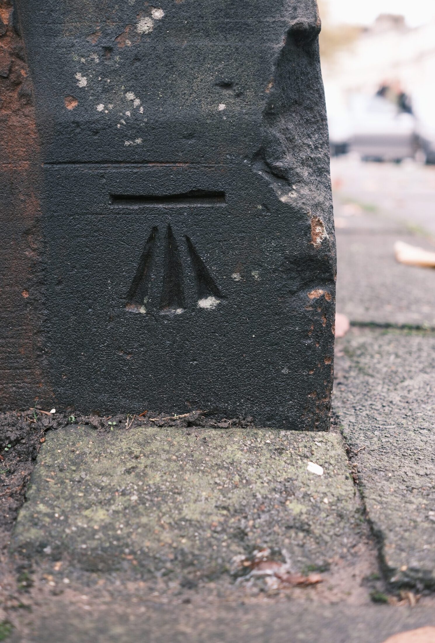
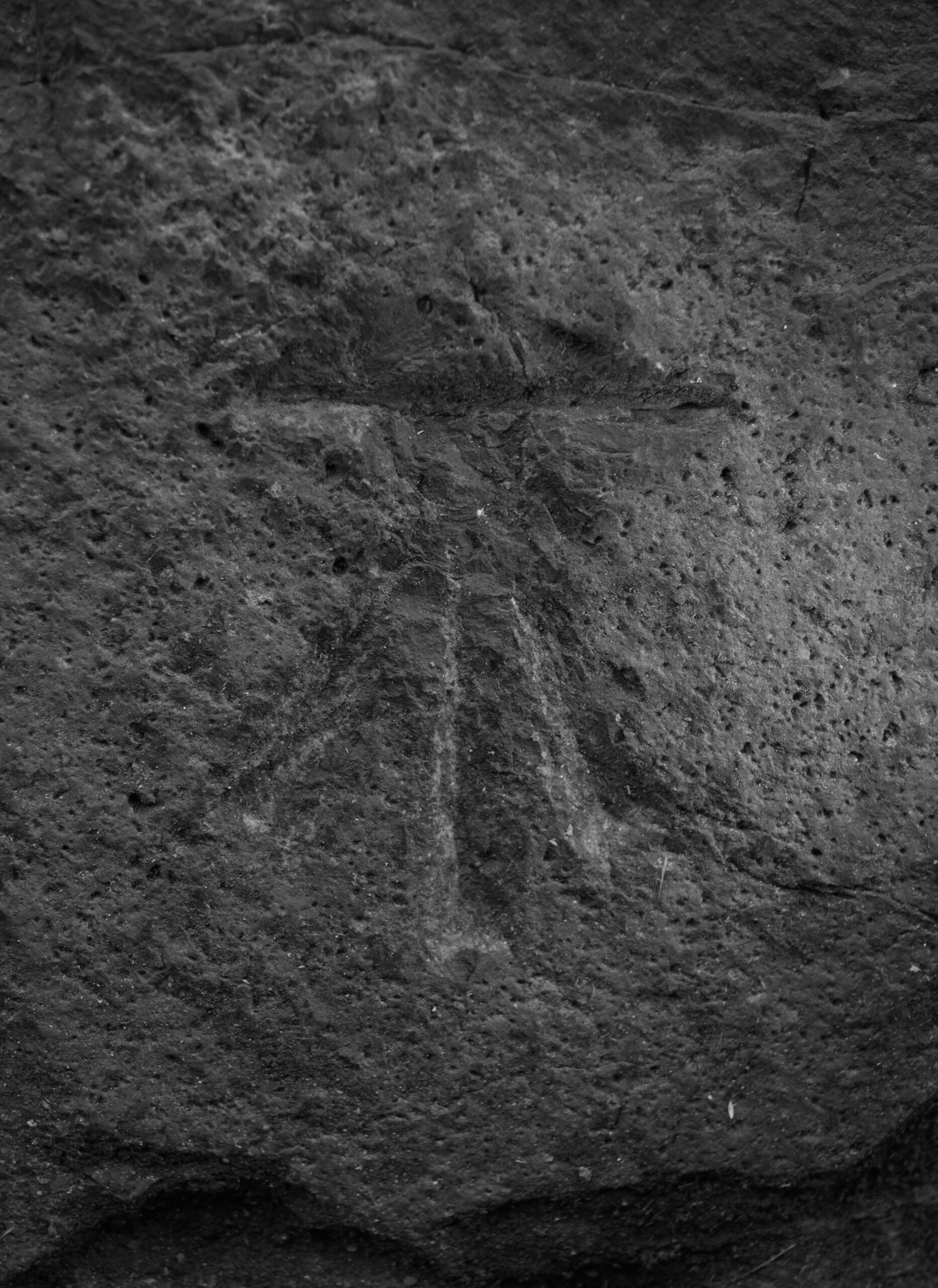
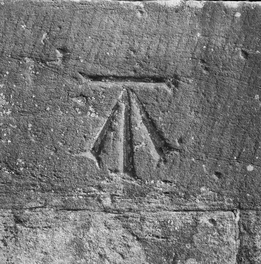
Take Part In The Benchmark Trail!
Have you seen a benchmark in your local area? Share it with us!
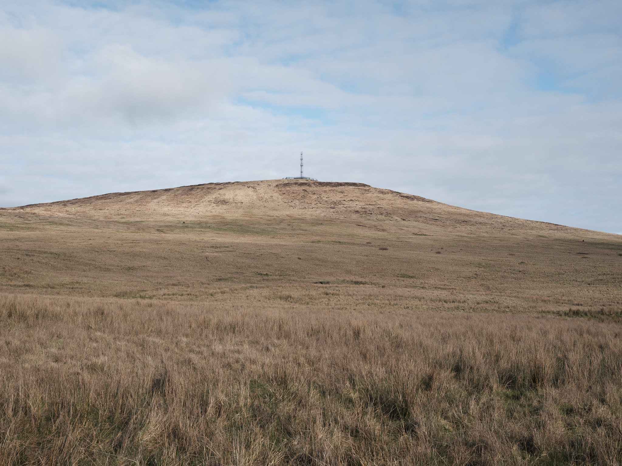
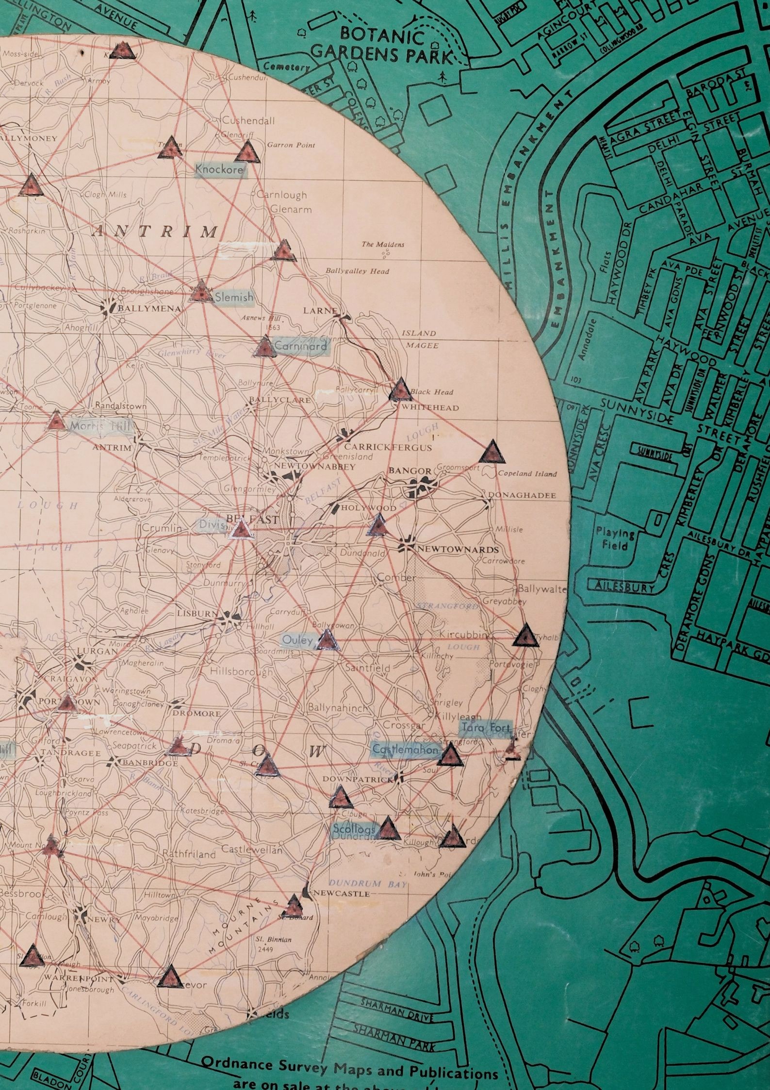
There are many traces of the Ordnance Survey in our landscapes and city, but it's not all about trig point! Benchmarks were used by the Ordnance Survey to mark points where the height above sea level has been accurately measured. Some benchmarks date all the way back to 1831, but most of the benchmarks in Northern Ireland date form the 1950s and 60s. There were over nineteen thousand benchmarks in Northern Ireland, but these are slowly disappearing. Will you take part in our #benchmarktrail and help us map as many benchmarks as possible? Share a photo with us on Instagram using #benchmarktrail or email your image to: polly@nisciencefestival.com.
Got a question?
Reach out to our Project Coordinator: polly@nisciencefestival.com