



Part of the Maps & Memories
Maps & Memories at 2 Royal Avenue
Details
WHERE
2 Royal Avenue
2 Royal Ave, Belfast BT1 1DA
Type
Drop-in
WHEN
Friday 20th Feb
1:00 pm – 5:30 pm
SUITABILITY
All Ages
Event Finished
Back to Events



Event Description
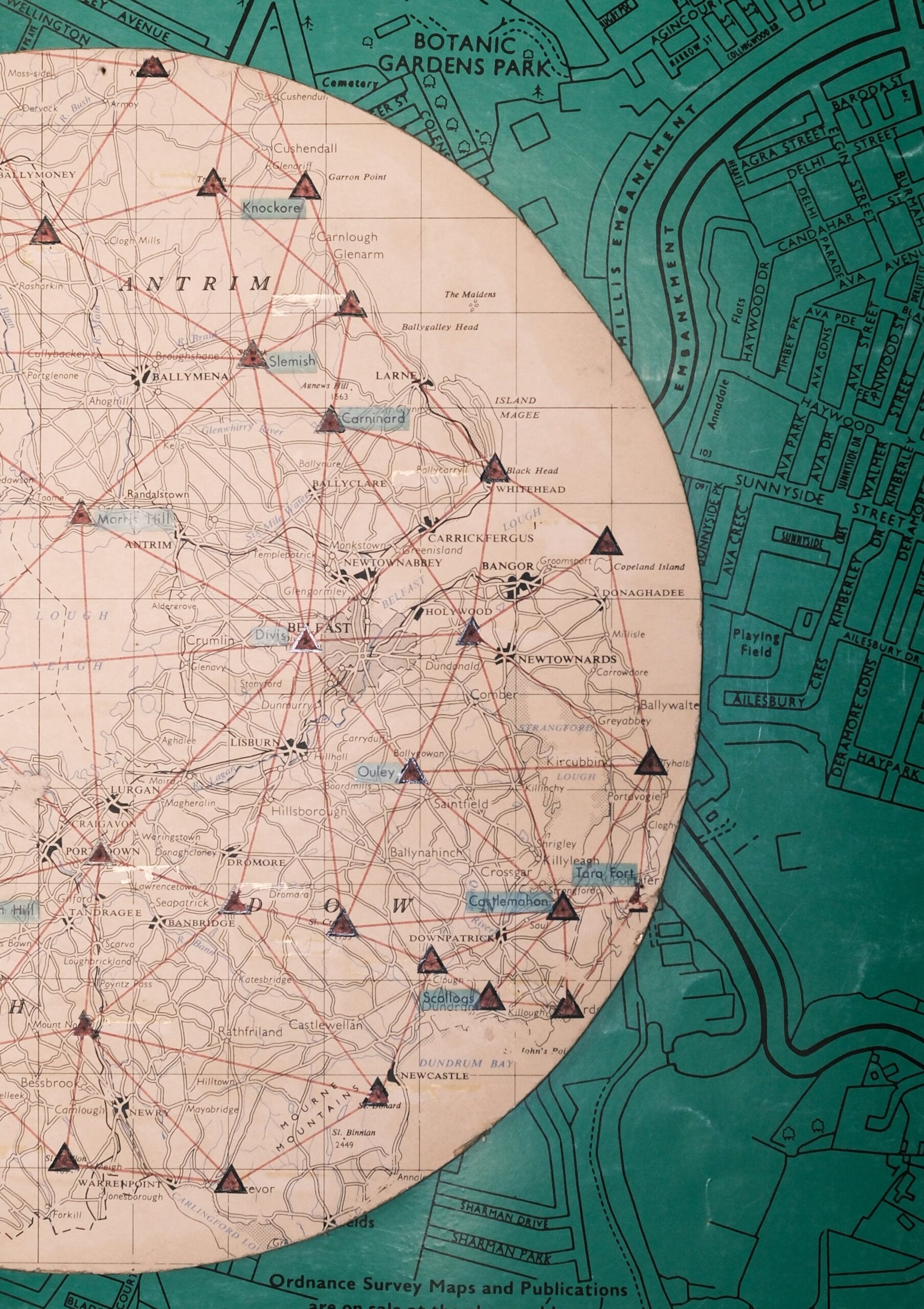
Step inside our Maps & Memories Cartography Corner and explore 200 years of mapping, memory, and place.
From 1pm to 5:30pm, drop in to:
- Mountain Memories – Take part in our postcard project by recalling a day spent on Divis or a favourite walk in the Mournes and add it to our Memory Maps
- Discover Mapping History – Explore our exhibition on the Ordnance Survey’s first detailed mapping of Ireland, carried out 200 years ago.
- Hunt for Benchmarks – Pick up a map and head off in search of the carved survey marks left behind by early cartographers on buildings around the city centre.
- Map Mingle from 1pm to 2pm – Calling all map enthusiasts! Bring your favourite map (B.Y.O.M.) and join us for a relaxed social hour celebrating the history and heritage of mapping in Ireland. Map Mingles are friendly drop-in events open to anyone with a love of maps.
Cartography Corner is part of Maps & Memories, a two-year community heritage project marking 200 years since Ireland’s first detailed Ordnance Survey.
Maps & Memories is made possible by The National Lottery Heritage Fund, thanks to National Lottery players and a joint partnership between NI Science Festival, Queen’s University Belfast, Ordnance Survey NI, Historic Environment Division and the National Trust.
Event Partners
Free