


Summit Science
Details
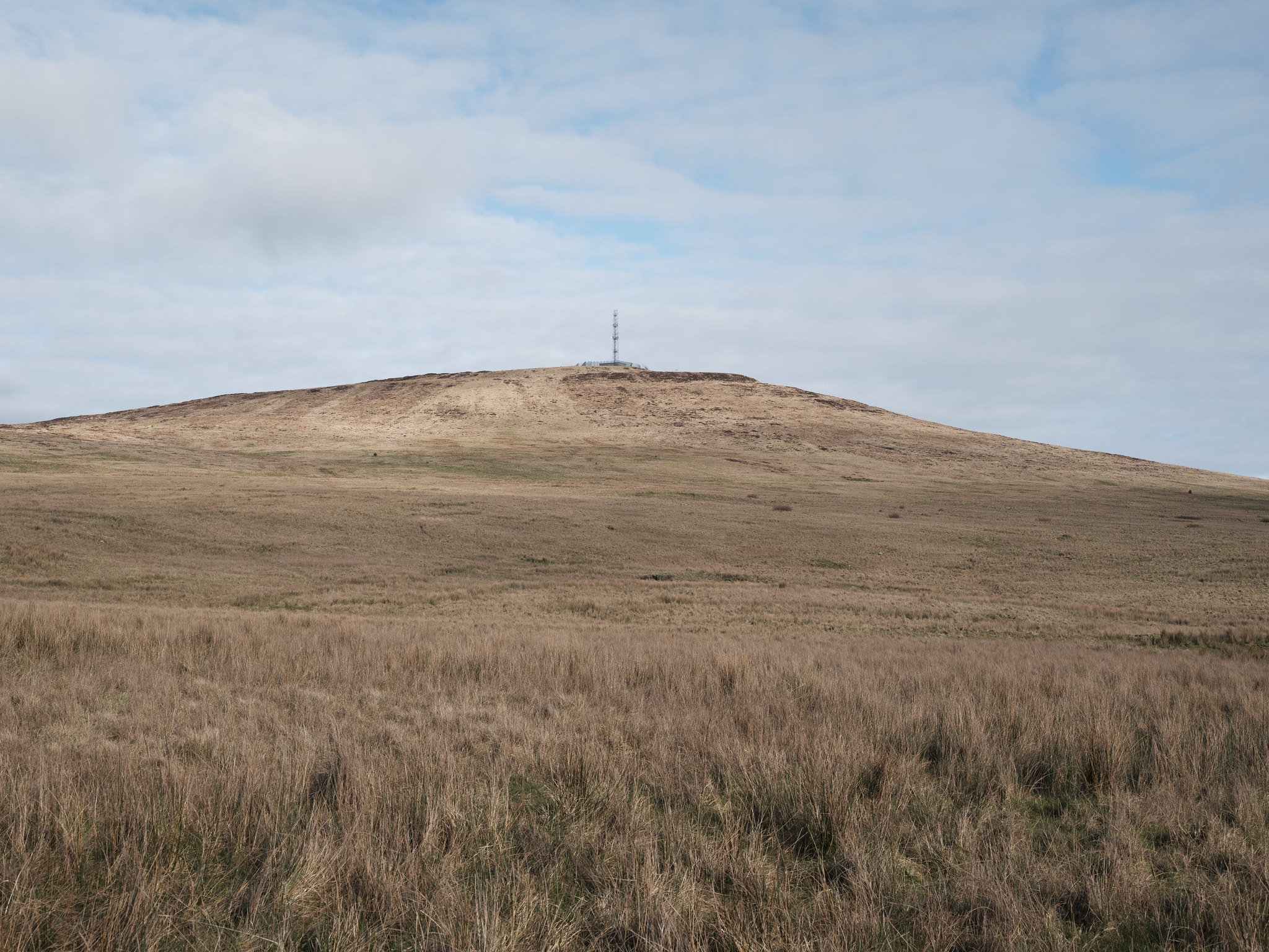
WHERE
Divis Mountain
Divis Road Hannahstown, Belfast BT17 0NG
Type
Tours
WHEN
Saturday 14th Feb
1:30 pm
SUITABILITY
14+
Sold Out
Event Description
How did Divis help measure the size and shape of the planet? Two hundred years ago, ‘geodesy’ was a major scientific quest. The Ordnance Survey of Ireland played a key role in this endeavour. It involved making accurate observations using state of the art surveying instruments, set up on top of Divis. The mountain became a hive of scientific activity.
Today, modern mapping techniques and survey technologies can help us locate where the survey teams camped and learn about how they did their work, while living in what is a hostile and challenging upland environment.
Join mapping experts Keith Lilley and Ken Stewart on a guided walk to the summit of Divis Mountain.
This is an outdoor event, please wear suitable clothing and footwear for all weather conditions. For more information on visiting Divis Mountain, please click here.
Maps & Memories is made possible by The National Lottery Heritage Fund, thanks to National Lottery players and a joint partnership between NI Science Festival, Queen’s University Belfast, Ordnance Survey NI, Historic Environment Division and the National Trust.
Event Partners


Free
