Event Description
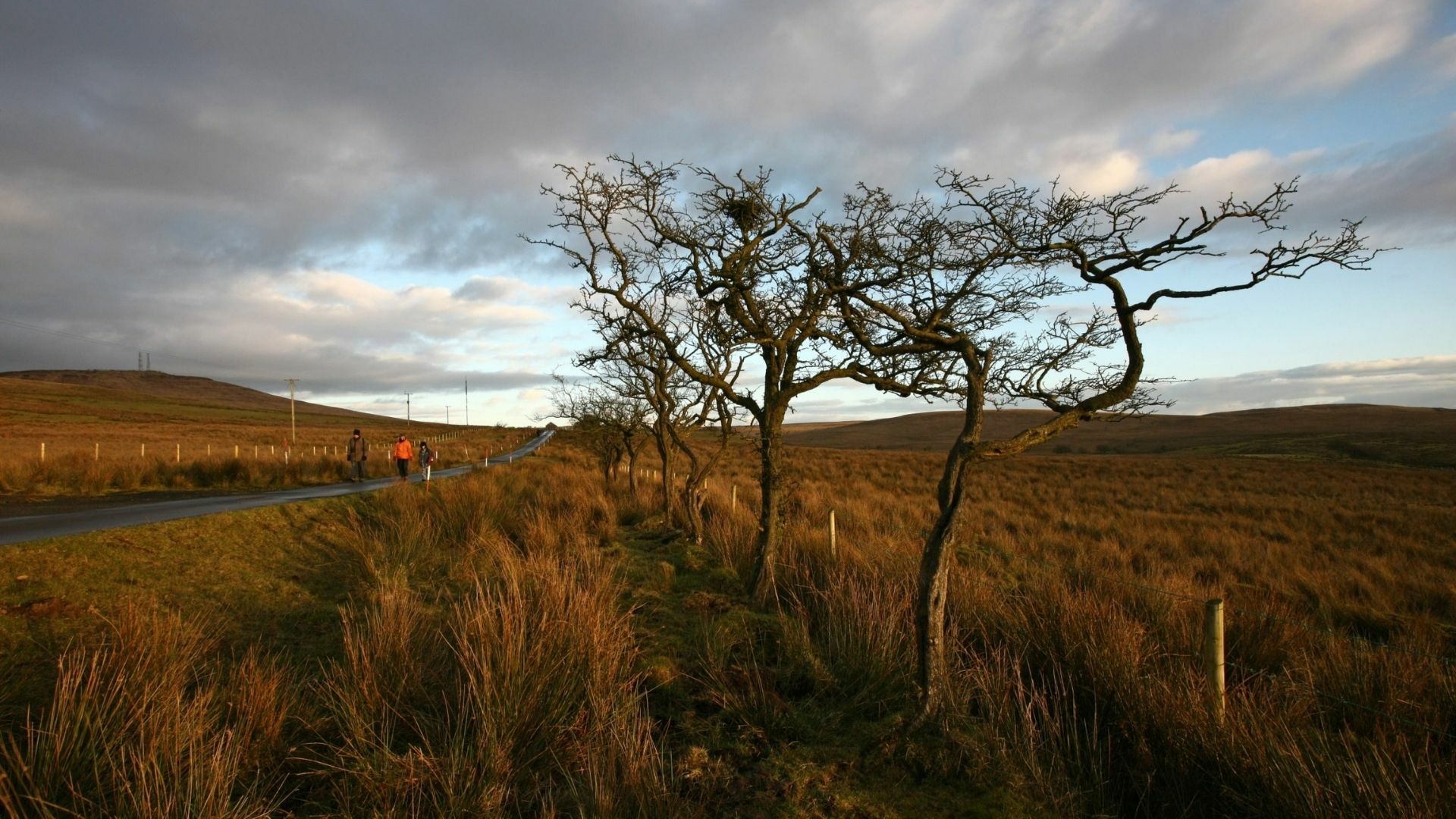
How did Divis help measure the size and shape of the planet? Two hundred years ago, 'geodesy' was a major scientific quest. The Ordnance Survey of Ireland played a key role in this endeavour. It involved making accurate observations using state of the art surveying instruments, set up on top of Divis. The mountain became a hive of scientific activity.
Today, modern mapping techniques and survey technologies can help us locate where the survey teams camped and learn about how they did their work, while living in what is a hostile and challenging upland environment.
Event Partners
You might like these too…
Want to see more?
View all events

