Event Description
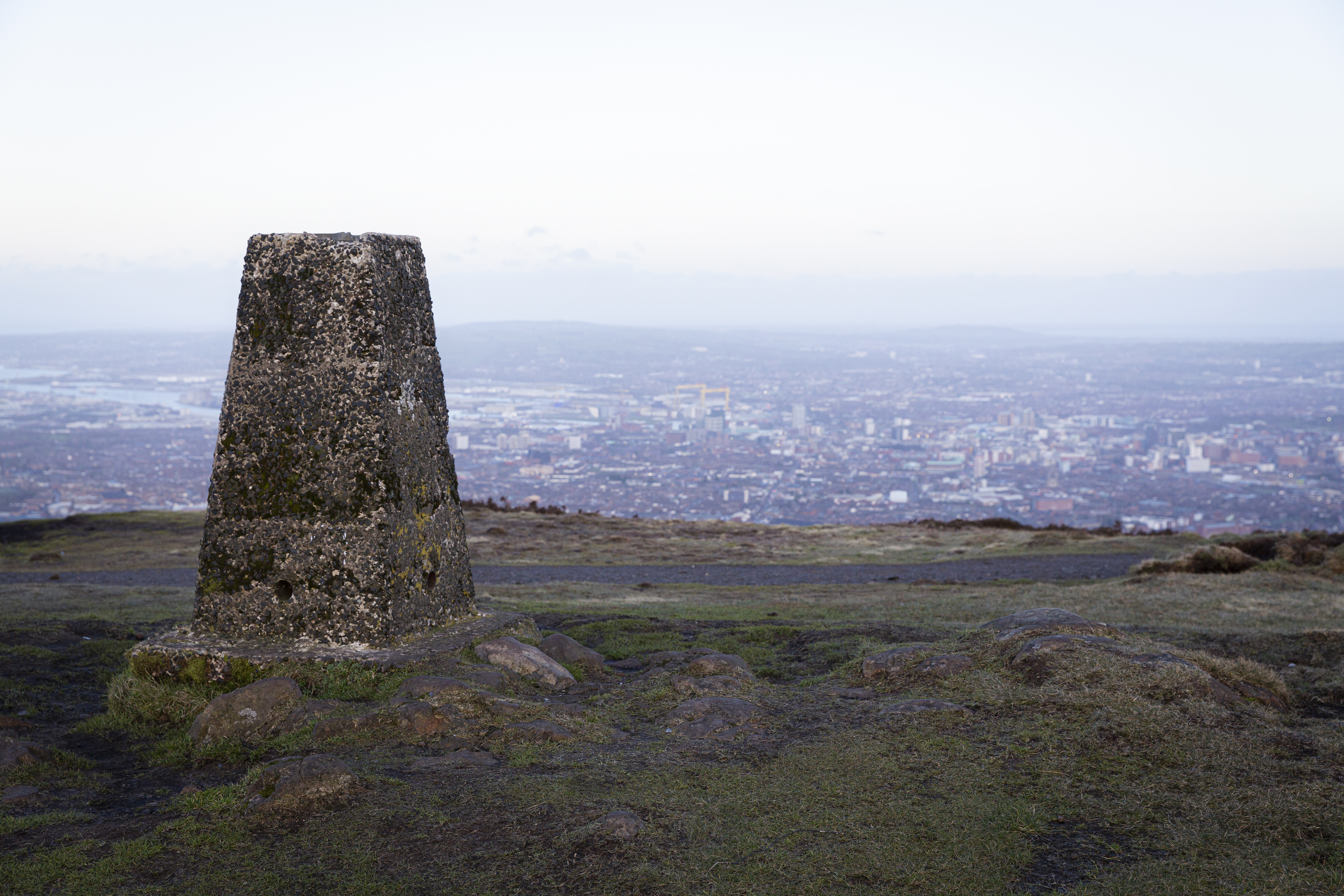
Two hundred years ago Divis was a hive of scientific activity. In 1825, surveyors set up their camp on the summit. These mapping men endured hostile conditions as they monitored their instruments and made their observations. So, why Divis and why then?
To find out, come to Divis & the Black Mountain and hear more about how the Ordnance Survey (OS) mapped Ireland from this lofty point. A talk by Professor Keith Lilley from Queen’s University Belfast will explore how Ireland was mapped in the 1820s from Divis, and Ken Stewart from Ordnance Survey Northern Ireland will consider some of the technology and methods used by the early surveyors and contrast these with current surveying techniques. For the adventurous, too, we shall set off outdoors after the talk to follow in the footsteps of the OS surveyors. Climbing Divis and Black Mountain, we shall seek to see what the surveyors saw.
Please make sure to wear appropriate clothing & footwear for the outdoors as weather can be unpredictable on the mountain.
Event Partners


You might like these too…
Want to see more?
View all events